BVLOS Operations

See real efficiencies with Beyond Visual Line of Sight (BVLOS) operations

Beyond Visual Line of Sight (BVLOS) flights are flown beyond the visual range of the pilot. BVLOS capabilities enable Remotely Piloted Aircraft Systems (RPAS) to cover far greater distances and capitalise on the full potential of aerial sensing and survey over long linear assets, widely dispersed assets or broad area tenements.

Our BVLOS experience – coupled with our leading platforms, long-range sensors and data analysis – is an efficient and cost-effective broad area survey solution.

Insitu Pacific’s extensive defence experience has provided a solid foundation for BVLOS operations and our solutions can readily service the growing global demand for aerial survey and inspection in sectors such as mining, oil and gas, and major infrastructure such as utilities and energy.

We have achieved over 4000 BVLOS flight hours supporting these sectors in regions such as the Pilbara, Bowen Basin, Surat Basin, Hunter Valley region, and more.

Connect with us on +61 7 3182 4000 or send us an email

Safer data collection over industrial assets and broad areas

An effective alternative to manned operations and ideal for operations over remote and rugged locations, BVLOS aerial survey can assist in minimising exposure to site specific risks, fatigue, motor vehicle incidents and reduce Fly in Fly out requirements.  

Persistent broad area survey can be achieved without costly aircraft or infrastructure, with our ready-to-deploy aircraft able to remain airborne for hours at a time to collect high quality data in very efficient timeframes.

When your organisational requirements grow, Insitu Pacific’s operations are ready to scale at the same rate.

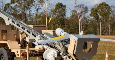
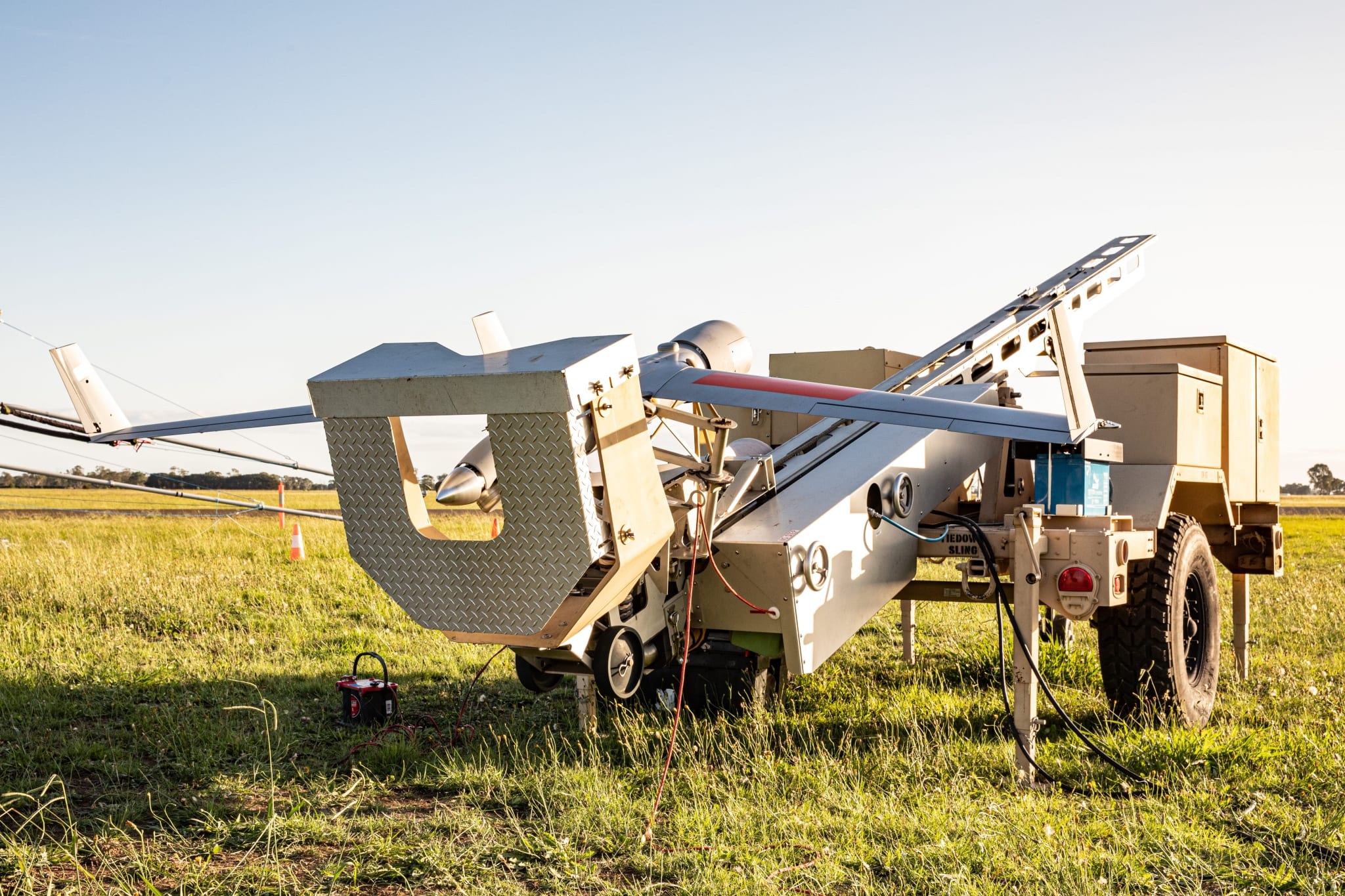
ScanEagle on launcher

Expert advice on BVLOS airspace approvals

Insitu Pacific holds CASA certification and our systems are operated by authorised holders of Remote Pilot Licences, including Instrument Rated Pilots, and we are committed to leading the way in safe airspace access.

As part of our end-to-end service delivery, we manage the specialised process involved in adhering to government regulations, airspace access applications and airspace approvals on behalf of our customers, and implement our flight plans to optimise the BVLOS data collection benefits.

Future of BVLOS – Remote Operations Centre

Insitu Pacific has successfully remotely piloted our ScanEagle UAS from remote operations centres to conduct BVLOS flights thousands of kilometres away on behalf of government, and resource sector customers. As this capability grows it has the potential to deliver near-real time information directly to onsite operations as well as at headquarters.  With extensive experience operating unmanned systems in some of the most challenging global environments, our customers gain the benefit of Insitu Pacific operators, systems and professional data delivery.

 Insitu Pacific - BVLOS Operations

Contact us for more information on how BVLOS aerial survey can deliver critical business intelligence and transform your site safety, operational planning, and predictive maintenance efficiencies.