High Accuracy Photogrammetry for Broad Area Survey
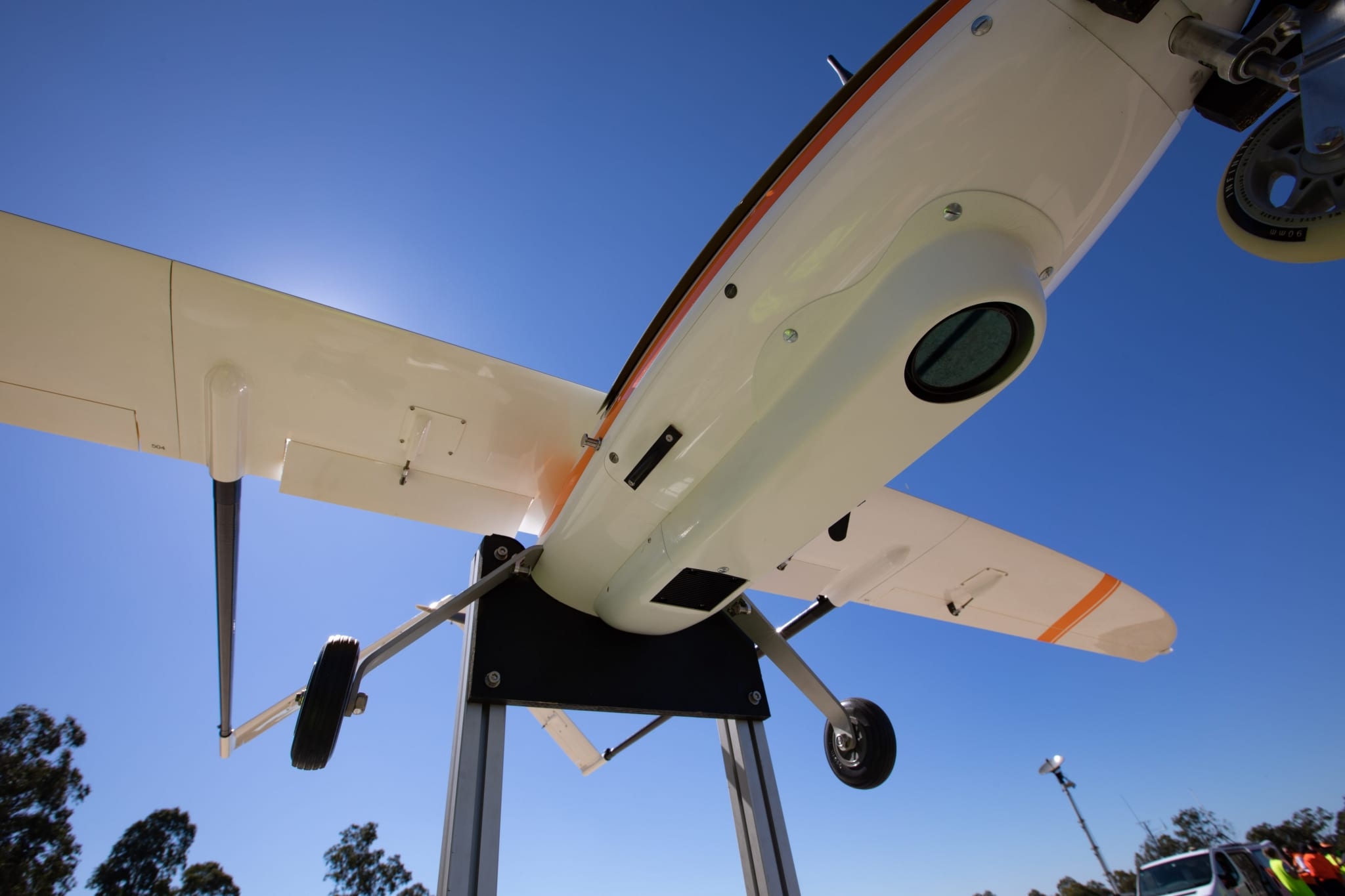
Insitu Pacific has developed world leading payloads for Group 2 RPAS including the High Accuracy Photogrammetry (HAP) Photogrammetry system. The HAP payload includes an extremely accurate position and timing system interfaced with a Phase One 100-megapixel camera for accurate insights across large survey areas.
Compared to current RPAS photogrammetric payloads, the HAP payload surveys broad areas accurately, quickly and safely while dramatically reducing aerial survey flight and data processing time. High-resolution images are mosaicked to create a broad area view with a geo-referenced Digital Surface Model (DSM) with full DTED data available, as well as a capability to deliver a highly accurate digital twin of the area being surveyed. HAP delivers business intelligence to better inform your decision-making.
Insitu Pacific’s continual innovation to enhance payload accuracy and survey data has led to achieving accurate volumetric survey even in low cloud cover. Combined with our leading UAVs capable of surveying hundreds of kilometres in a single flight, HAP delivers the big picture so you can focus on operational savings and effectiveness.
In addition, HAP offers defence customers the ability to rapidly map terrain, make accurate measurements and calculations, which can be used to perform visual and radio line of sight assessments and process DSMs to obtain a clear picture to inform critical mission decisions.


