Fixed Wing BVLOS LiDAR Capability
Insitu Pacific has developed revolutionary payloads including Beyond Visual Line of Sight (BVLOS) Remotely Piloted Aircraft System (RPAS) LiDAR System which delivers business intelligence to better inform your decision-making.
Utilising the RIEGL LiDAR head, we have adapted it with our own specialised navigation and timing hardware and software to specialise it for a UAS. The LiDAR payload includes an extremely accurate position and timing system interfaced with a state of the art LiDAR sensor for accurate insights across large survey areas. Compared to current RPAS LiDAR payloads, the CT-220 LiDAR payload surveys broad areas accurately, quickly and safely while dramatically reducing aerial survey flight and data processing time.
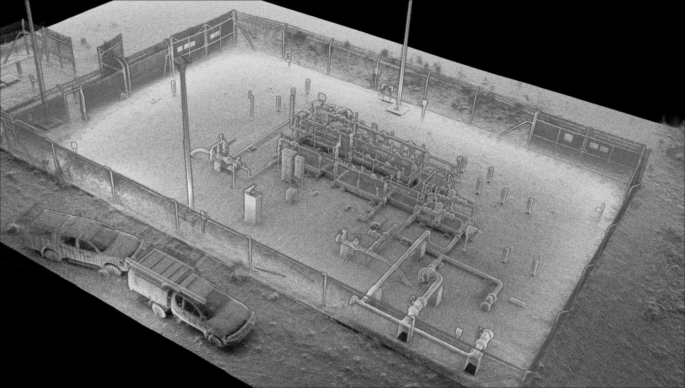
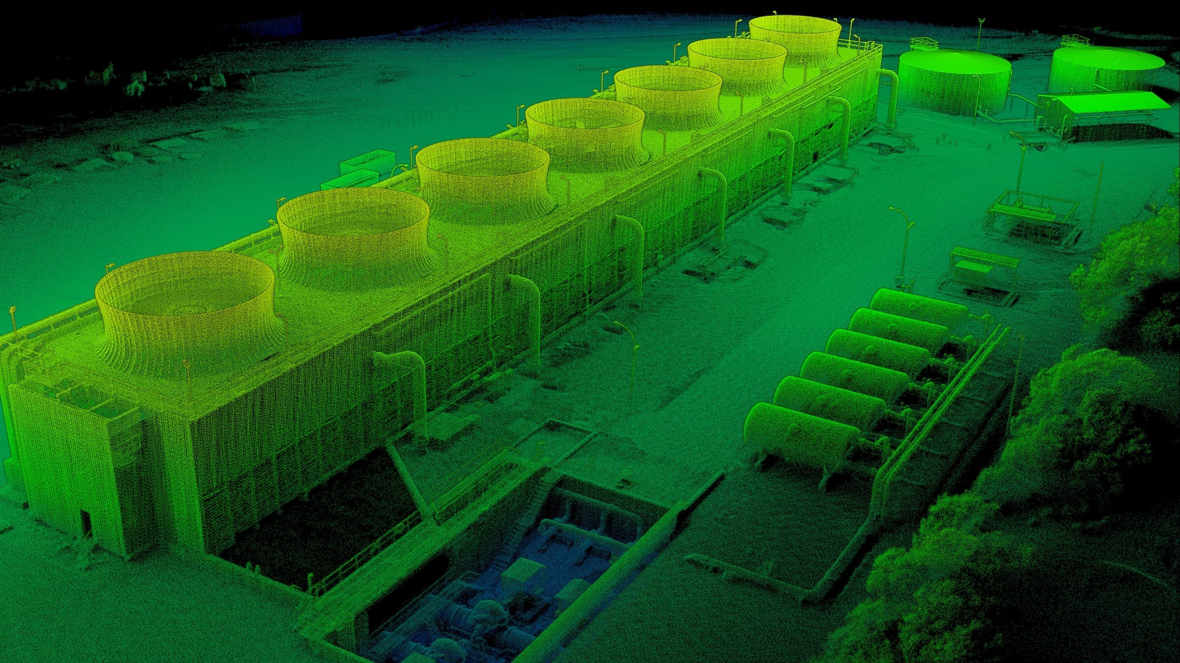
High density multi-return point clouds are efficiently processed on Insitu Pacific customer point cloud fusion software to create a ‘true 3D’ digital twin of the area being surveyed, including full depth penetration of trees and object classification. This enables objects of interest to be highlighted, non-surface points to be removed for engineering works planning and flood modelling and can even detect object underneath canopy cover.
In addition to commercial applications, LiDAR offers defence customers the ability to rapidly map terrain, make accurate measurements and calculations, perform visual and radio line of sight assessments, identify man-made objects from natural objects and process Digital Terrain Models (DTMs) to obtain a clear picture to inform critical mission decisions.


![Insitu Pacific - [Page Template] - Footer](https://insitupacific.com.au/wp-content/uploads/insitu-map-test-01.png)