BVLOS System for Aerial Survey
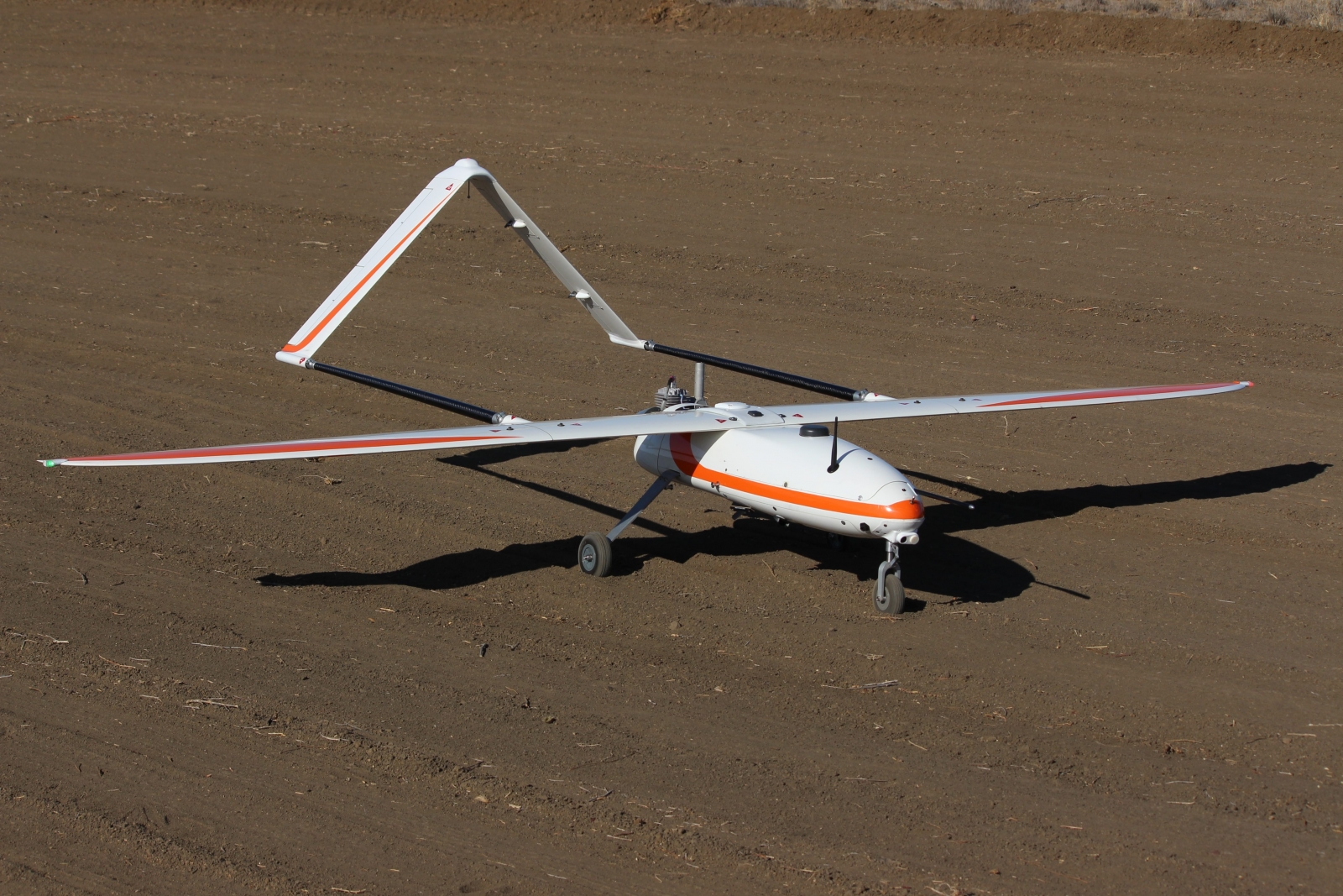
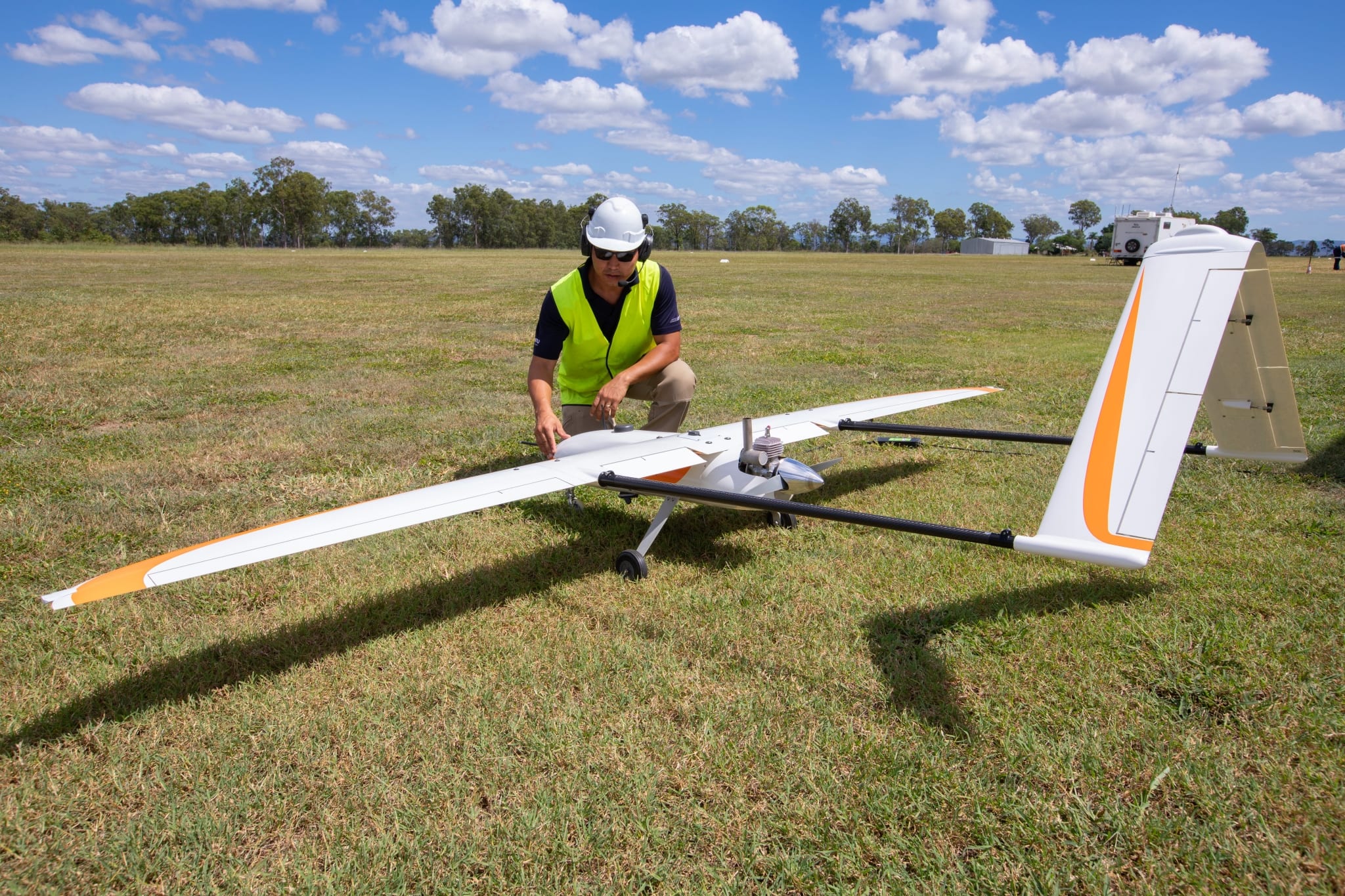
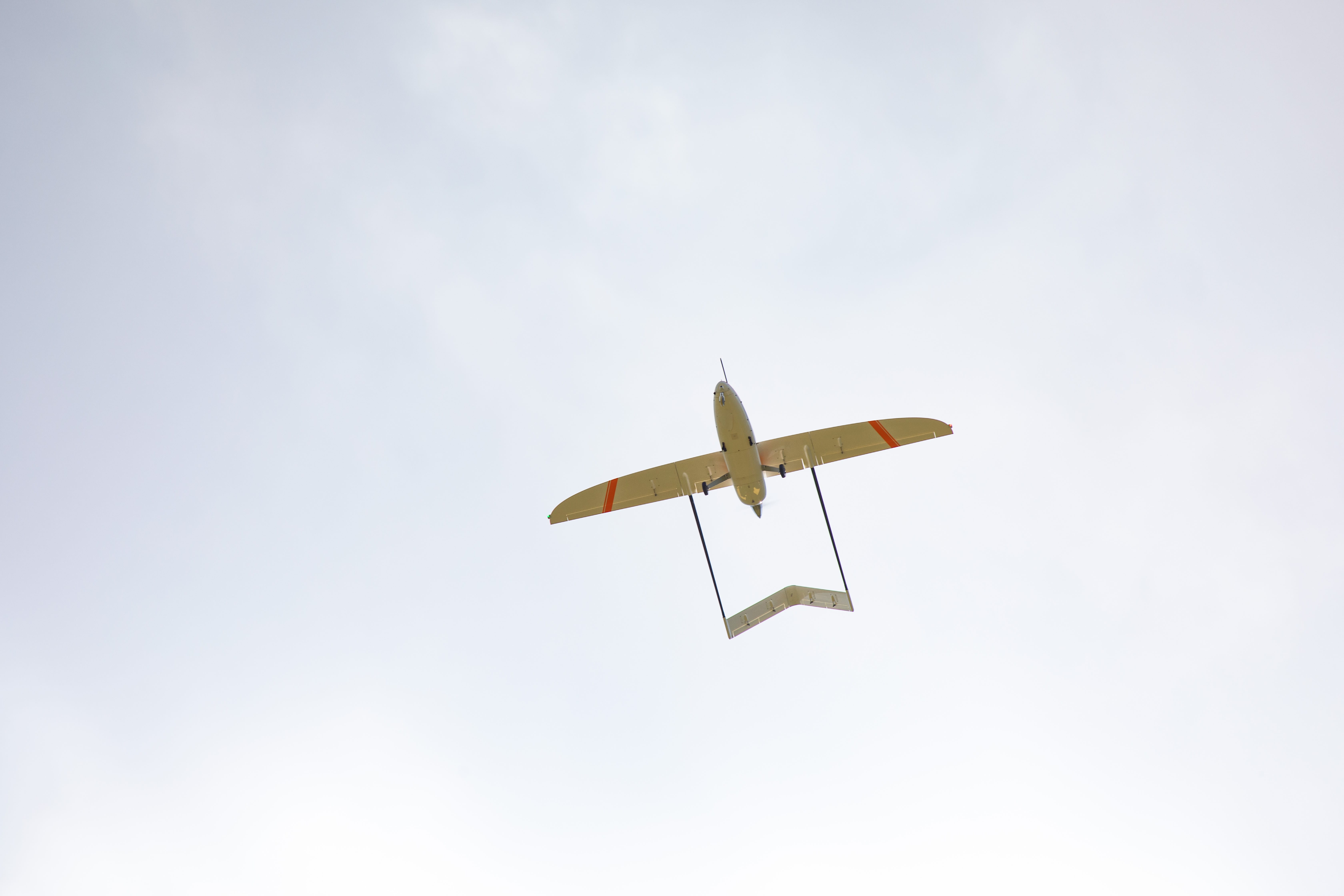
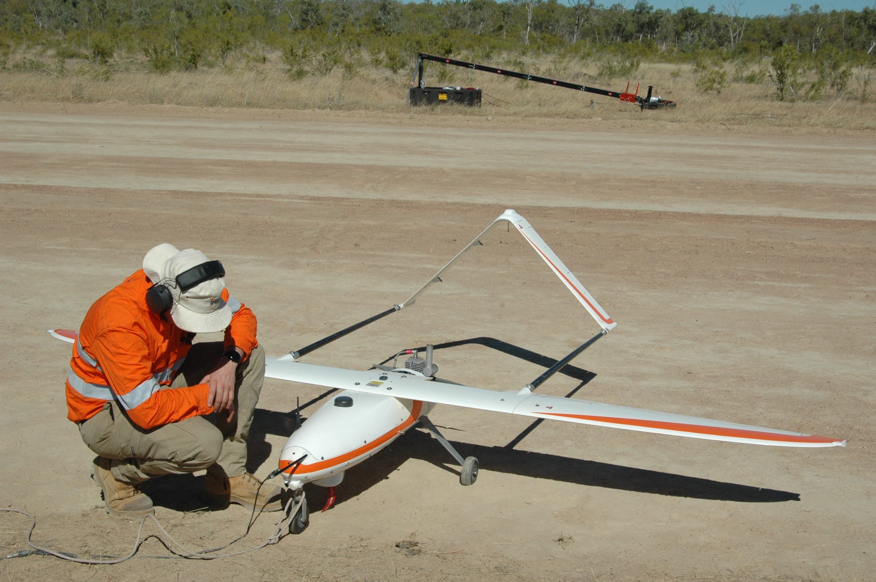
The CT-220 Remotely Piloted Aircraft System and its associated survey grade payloads has been in operation within the Asia Pacific region for over three years. These operations have occurred within Commercial airspace Beyond Visual Line of Sight (BVLOS) with full CASA, CASA PNG, and PACA approvals and have delivered survey grade, accurate data sets and products to our clients.
The CT-220 airframe is derived from UAV Factory’s Penguin B and was adapted by Insitu Pacific to be optimized for commercial data collection services and to meet evolving regulatory requirements. Significant work has been undertaken by Insitu Pacific to integrate specific engines, avionics, datalinks, payloads and other subsystems to optimise the CT-220 to address the needs of commercial customers, specifically in the Mining, Oil & Gas sectors. The hardware and software is modular and open to enable rapid enhancements to provide a modular approach to swapping sensors in the field and accommodate new sensors that can deliver bespoke customer information requirements.


