Sensors

Advanced sensors for meaningful insights

See more, know more.

Our range of sensors including LiDAR, thermal imaging, Electro-Optic, Infra-Red, Photogrammetry, 24/7 video surveillance, and multispectral linear asset inspection collect the right information at the right time to help you make critical decisions. Over large geographies and high value assets such as mine sites or oil fields, Insitu Pacific’s advanced broad area survey capabilities, including High Accuracy Photogrammetry (HAP) and LiDAR deliver fast, accurate and geospatially correct information.

Assets and sites that were once hard to access can be regularly surveyed and geospatially tagged and monitored, avoiding the need for personnel to be in direct contact with hazards.

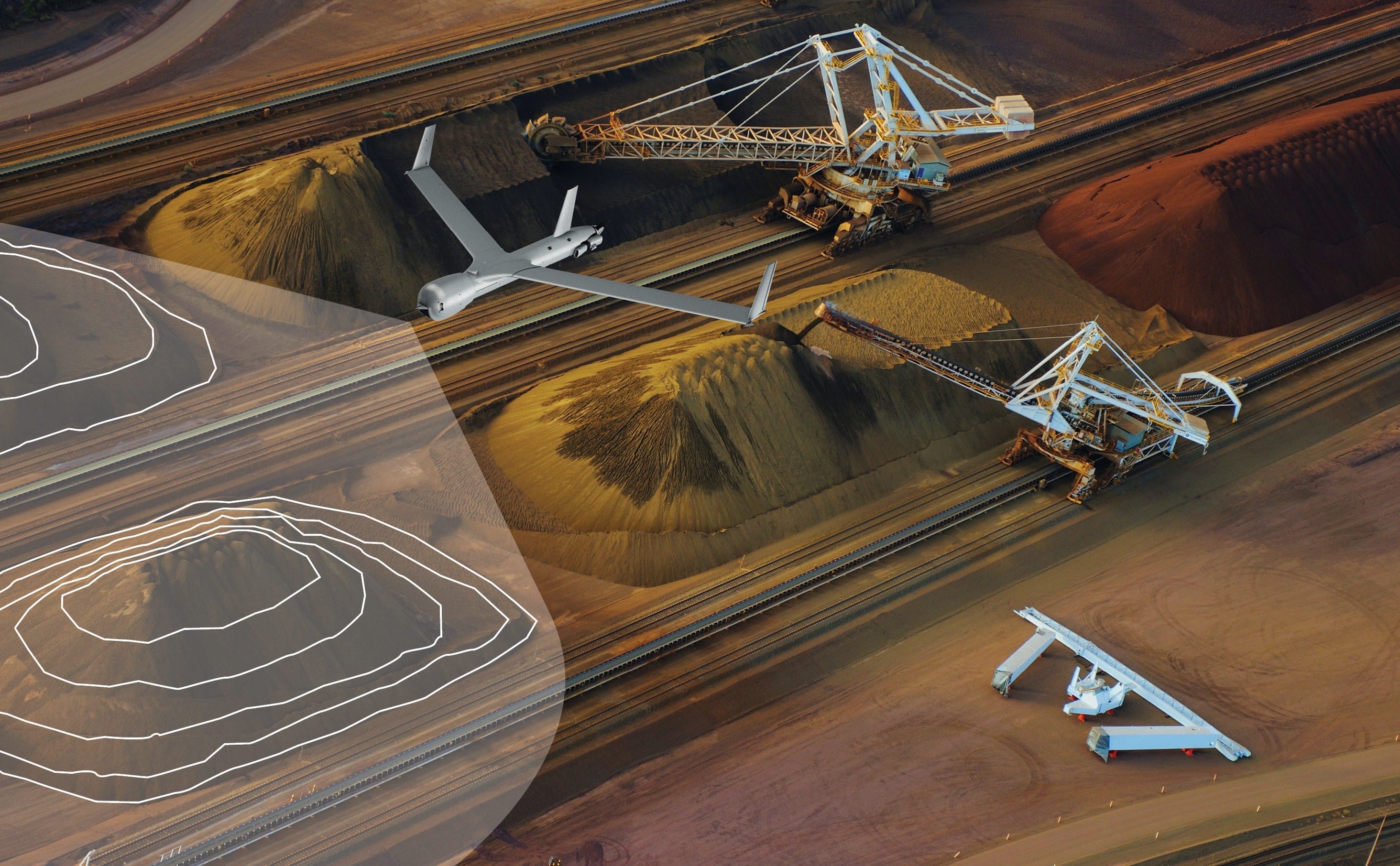
Extract precise information for a range of applications:

  • Digital Surface Models (DSM) 
  • volumetric assessment 
  • elevation change
  • automatic feature detection 
  • automatic change detection
  • plan compliance
  • automated inspection checklists
  • emergency response information.

Rapid spatial business intelligence can be distributed in a format to integrate with your business processes and delivered to operational site managers and/or to the boardroom no matter the location around the globe.

 Insitu Pacific - Sensors

Connect with us on +61 7 3182 4000 or send us an email

Sensor payloads

Photogrammetry

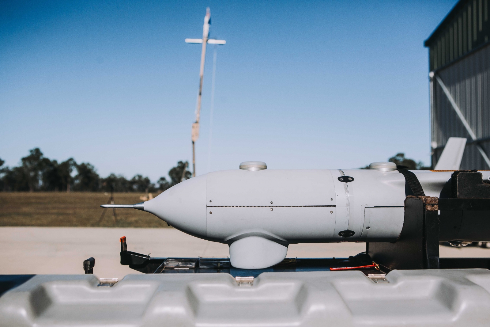
Automate dispersed asset inspection, and gain data-rich, wide area 3D mapping and volumetrics. Our accurate position and timing system is interfaced with a 100-megapixel camera for accurate insights across large survey areas.

ScanEagle with High Accuracy Photogrammetry (HAP)
 Insitu Pacific - Sensors

LiDAR

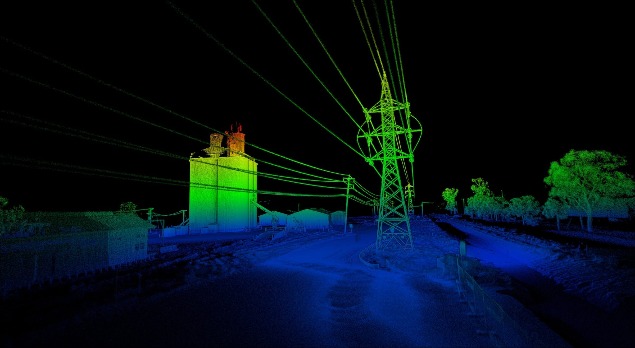
Rapid, accurate and low-overhead survey and asset accounting capability across broad survey areas. High density point clouds create ‘true 3D’ digital twins of the survey area, including full depth penetration of trees and object classification.

Hyperspectral Analysis

Ideal for exploration and for maintaining existing site compliance, hyperspectral sensors enhance aerial observation for accurate and precise classification and identification of minerals, chemicals and hazards.

Electro-Optical (EO) / Infra-Red (IR)

An essential tool for situational awareness, heat source detection, asset inspection and monitoring hazardous areas.

Radiometric IR

Gain real-time thermal data to identify, track, measure and interpret asset temperatures or anomalies.