Proven solutions for aerial survey, inspection and mapping
One flight, multiple insights
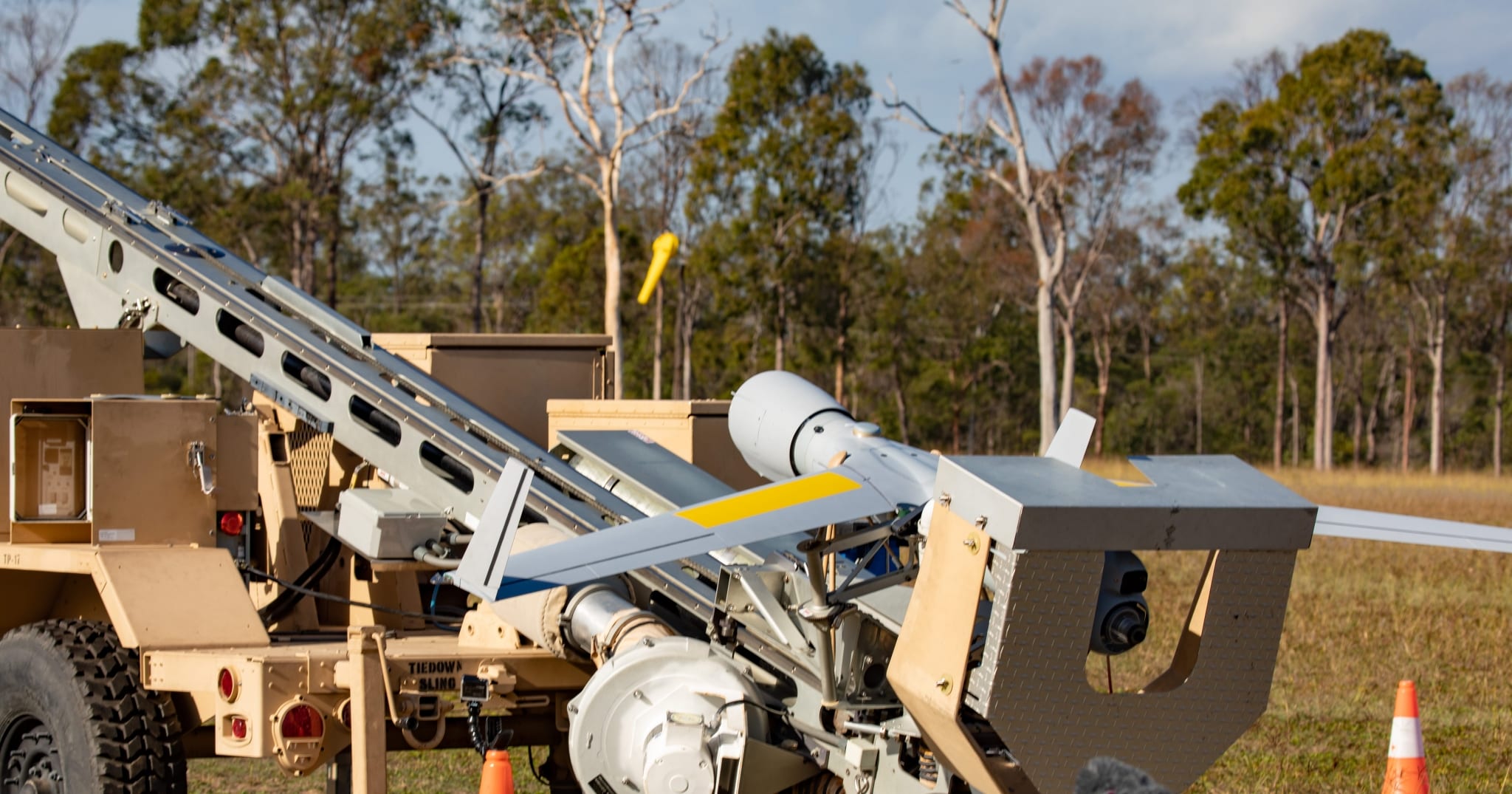
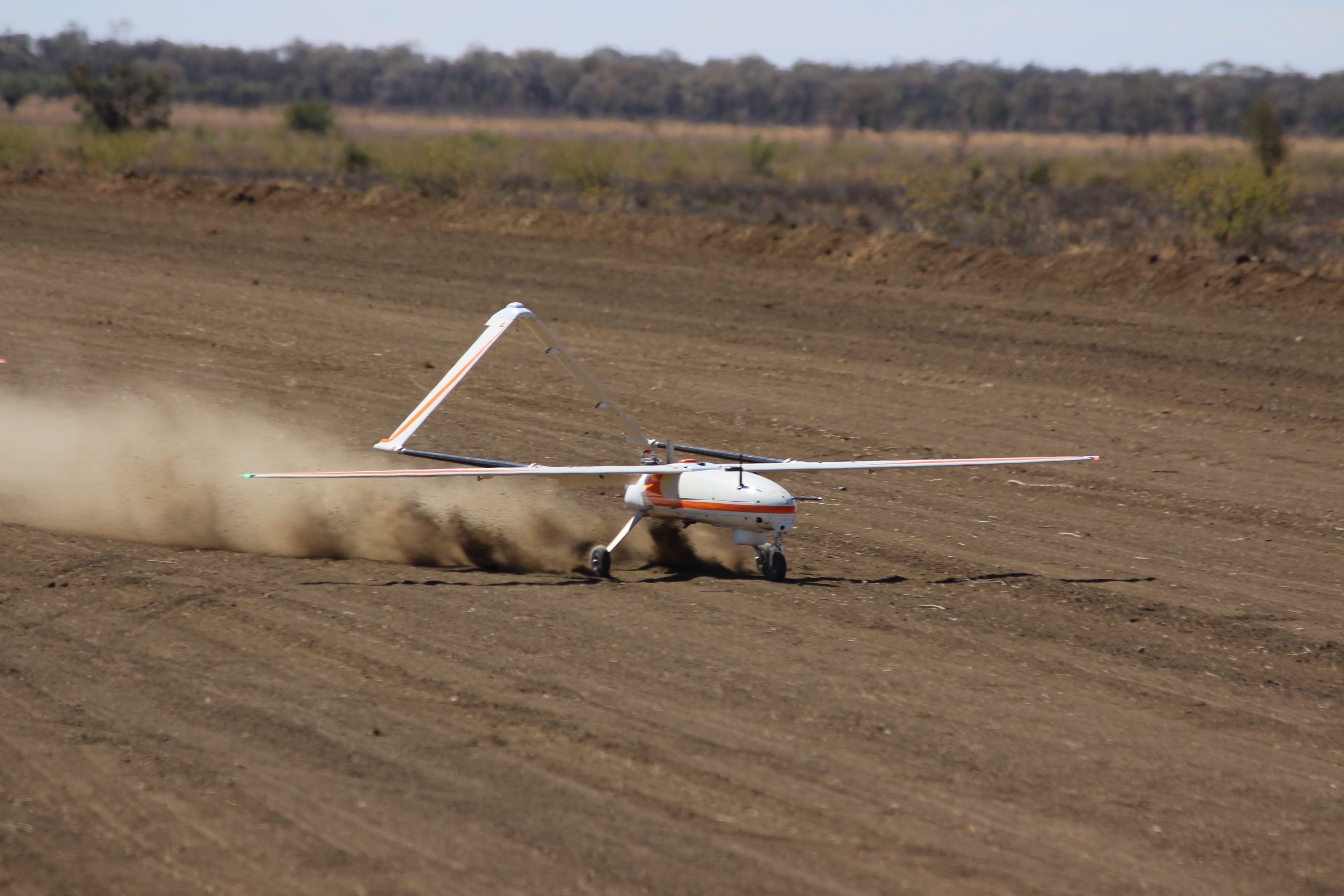
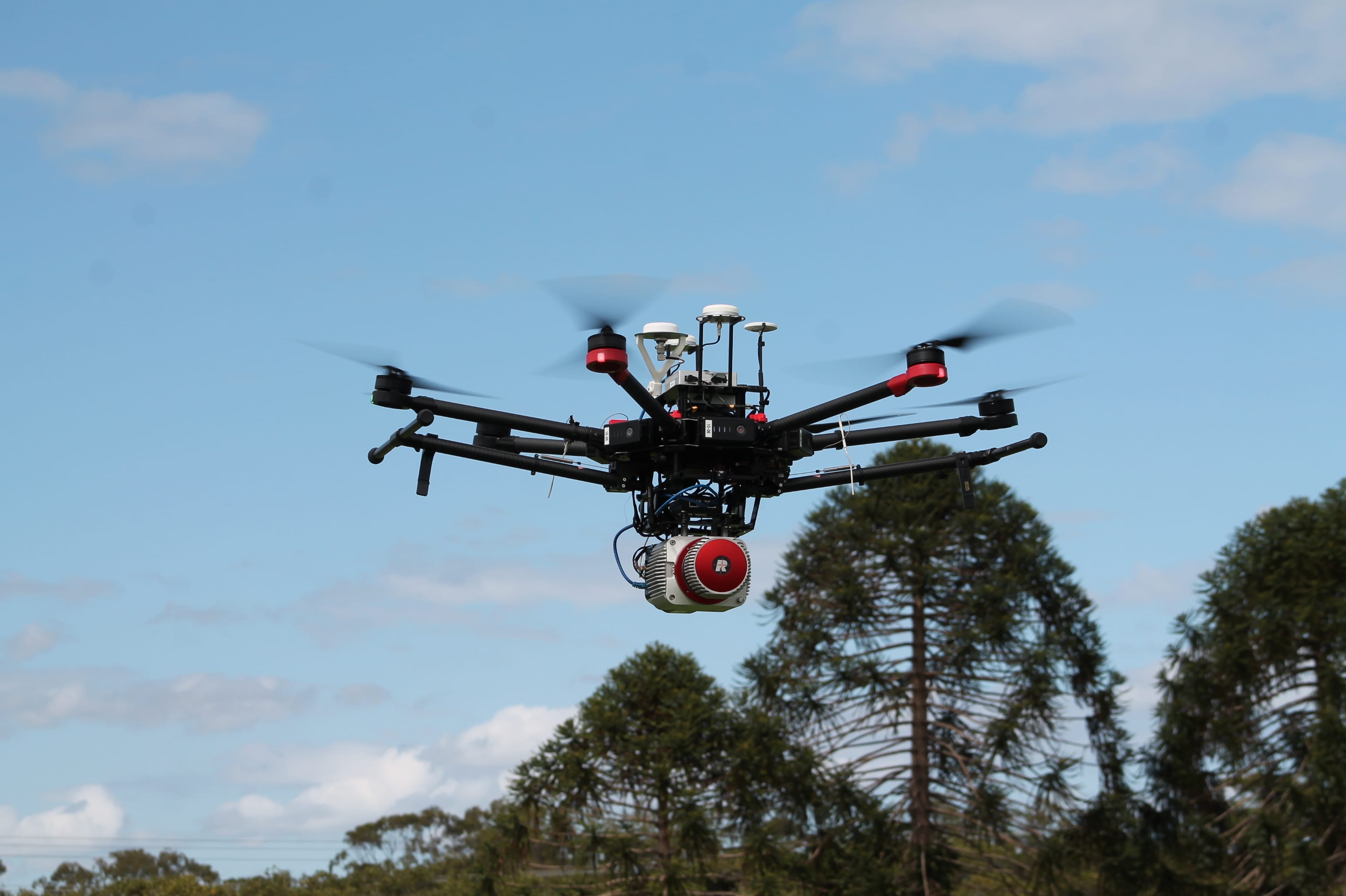
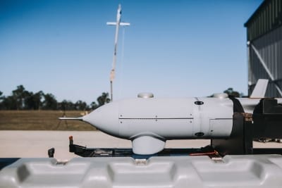
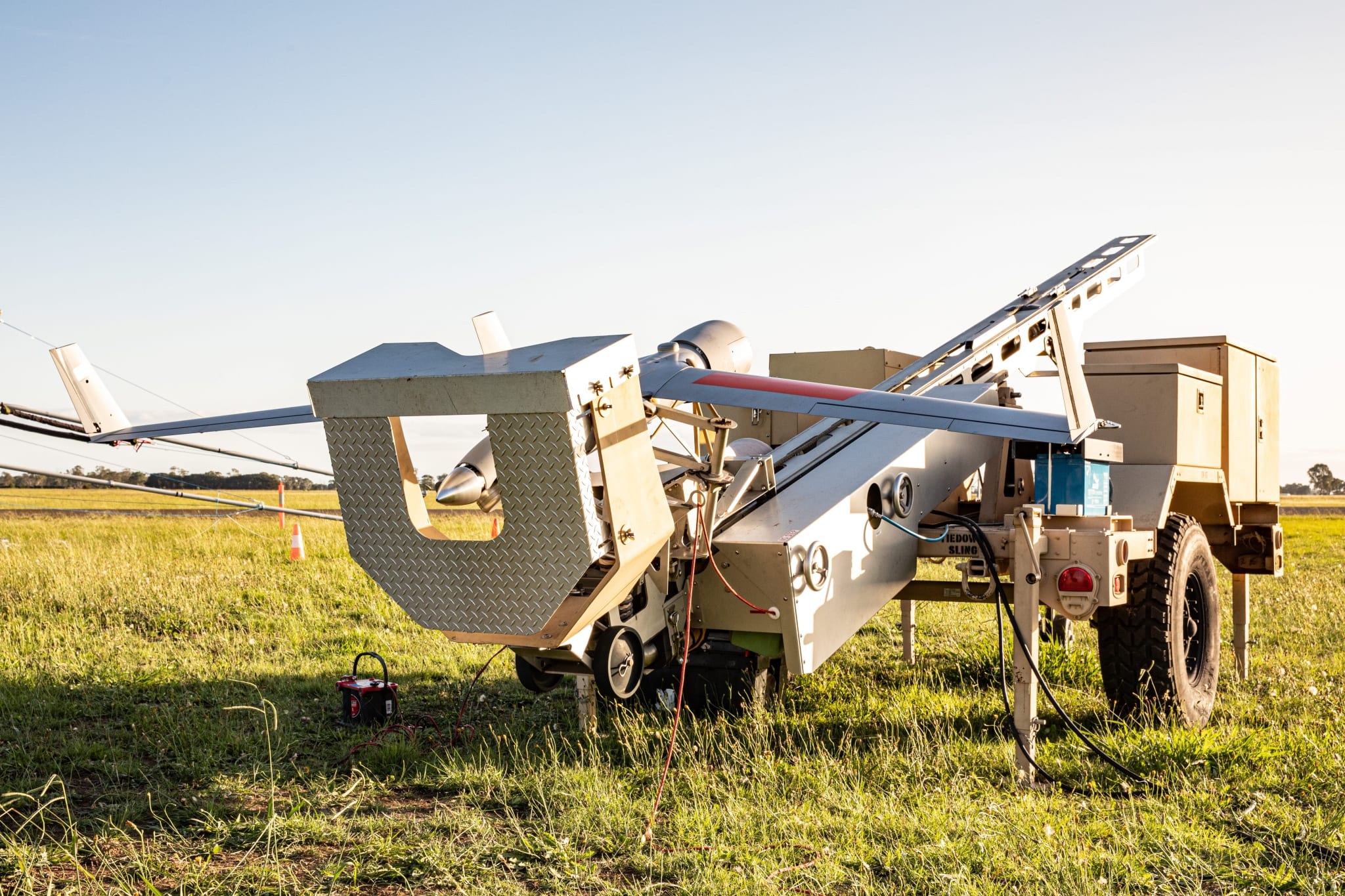
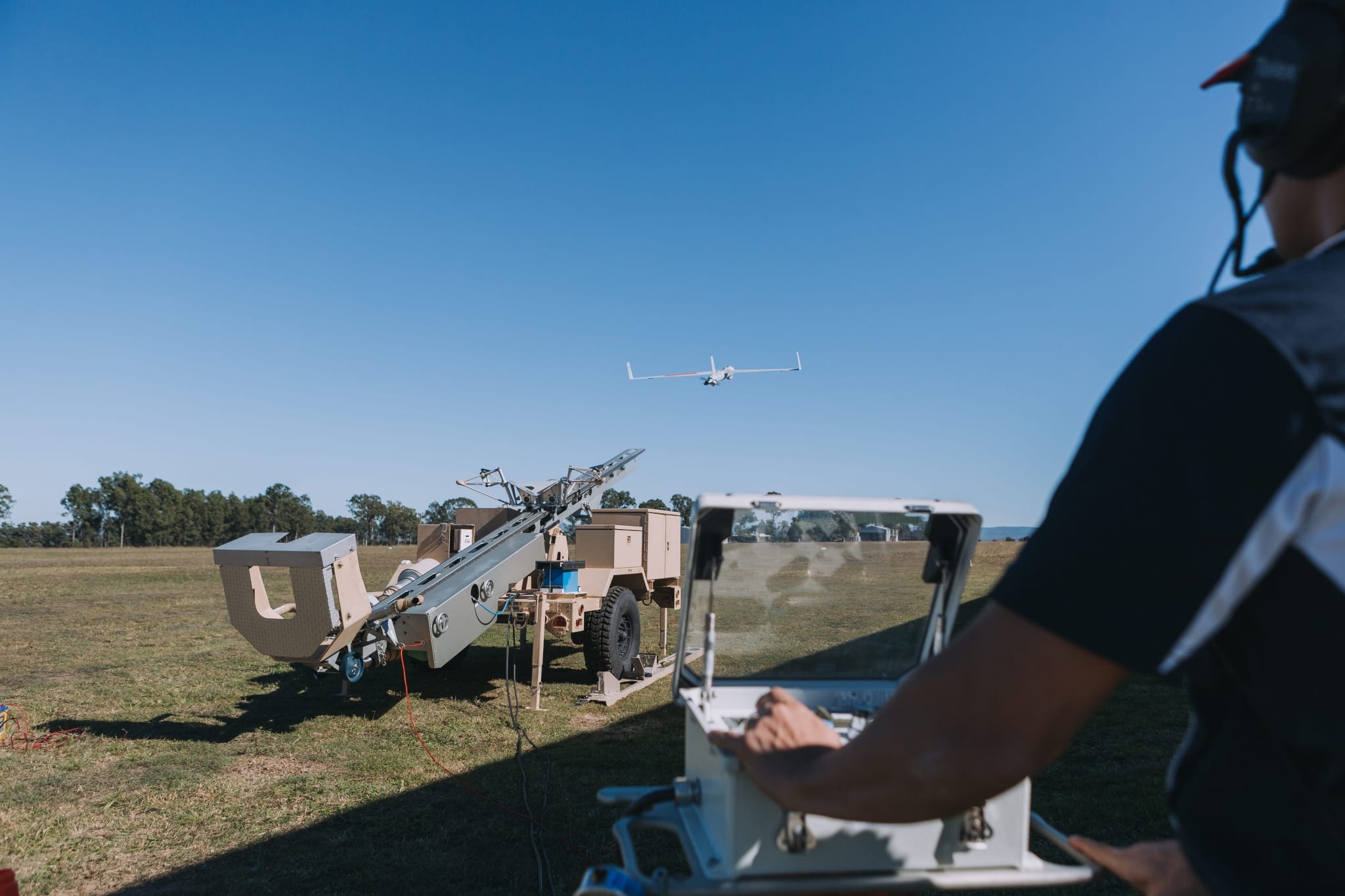
Our single pass, multi-source data sensor technology produces more actionable information and reduces flight time and costs. From small multi-rotor UAVs to larger longer range fixed wing UAS, our ability to scale our operations to meet your business needs results in advanced data capture, no matter the location or challenge.
