BVLOS RPAS Littoral Mapping
Summary
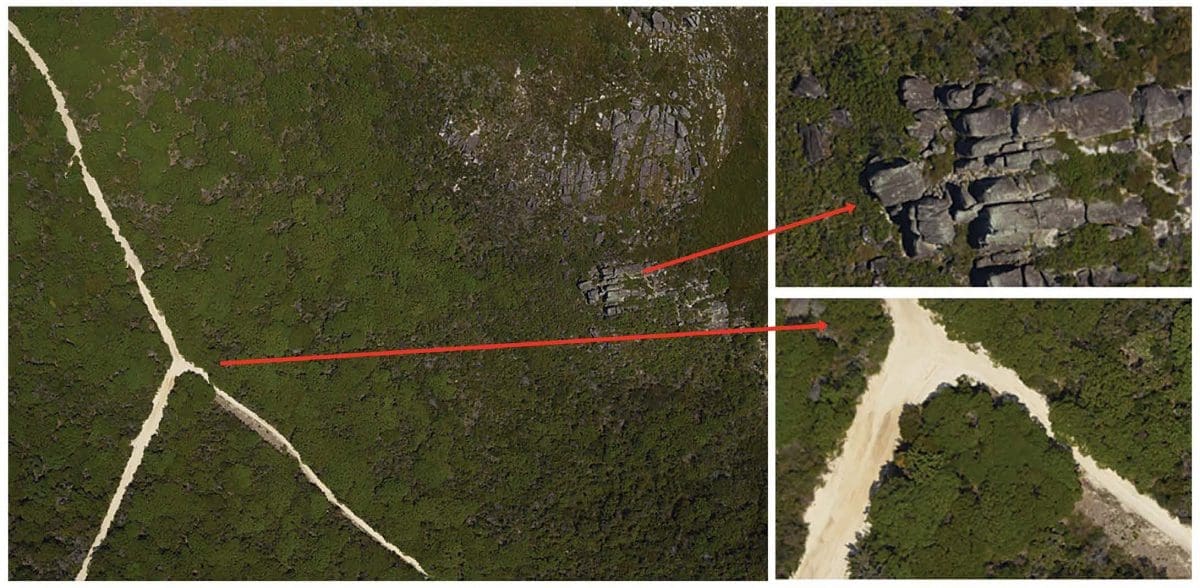
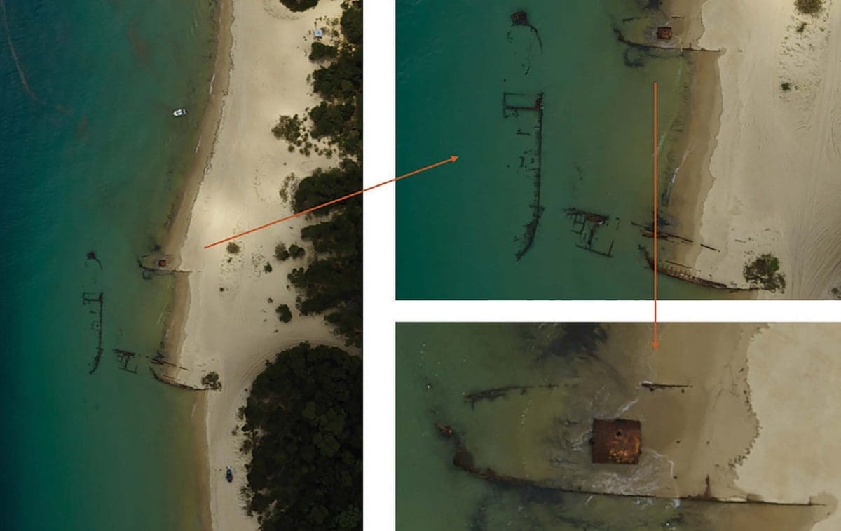
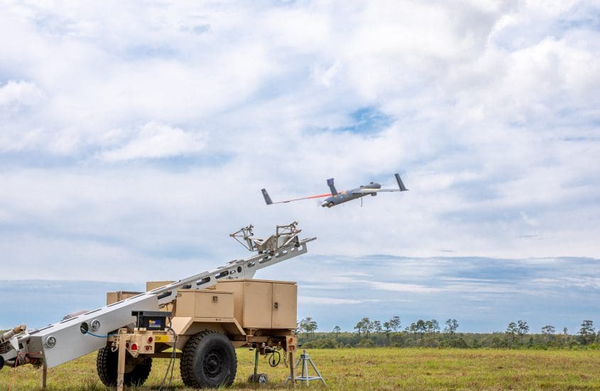
The capture of highly precise, geospatial information without the need for ground control to identify terrain, vegetation density and non-natural structures was undertaken to demonstrate a highly relevant operational capability that can support amphibious operations to Defence. The demonstration was conducted utilising Insitu Pacific’s Beyond Visual Line of Sight (BVLOS) Remotely Piloted Aircraft Systems (RPAS).
Aims/Objectives
The objective of this activity was to demonstrate an enhanced Concept of Operations (CONOP) for reconnaissance and assault planning activities to support Amphibious landing operations. Operational and environmental assessment of the Amphibious Operating Area (AOA) and surrounds is key to development and execution of effective assault and movement plans. Terrain capture has traditionally been achieved via satellite or high-altitude aircraft imagery, dedicated reconnaissance aircraft and/or intelligence data. Each of these mechanisms suffers from one or more limitations including low-resolution or obscured imagery, information latency, risk to assets, and alerting of adversary forces. This activity was undertaken to demonstrate the potential for BVLOS RPAS to deliver on-demand, high precision, low-risk data capture with on-vessel data processing and rapid post-flight information analysis.
To read more on methods, evaluation and key benefits, please download the full Case Study below.


